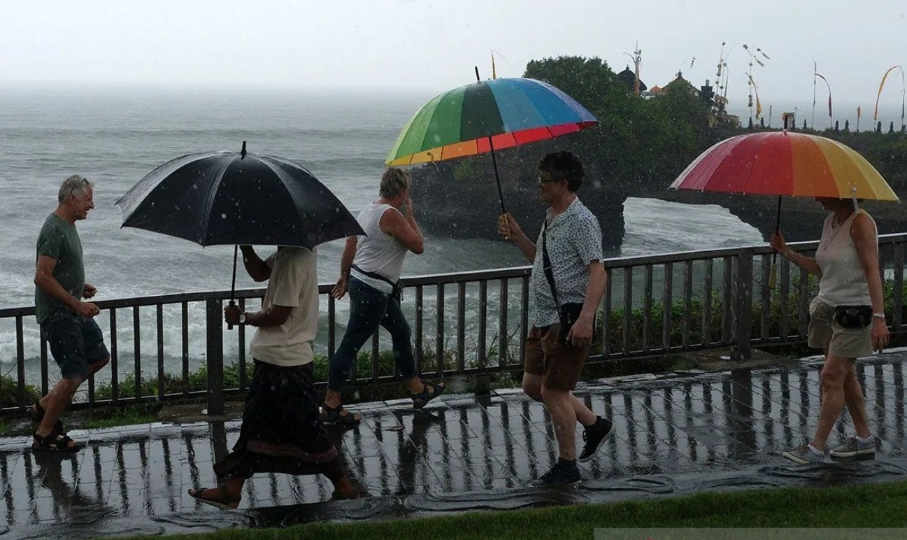
Bali Provincial Government has been urged to prepare for potential hydrometeorological disasters as Indonesia approaches the peak of the rainy season, expected between January and February 2026.
Bali Governor Wayan Koster met with Chief of Indonesian Agency for Meteorology, Climatology, and Geophysics, Dwikorita Karnawati to discuss comprehensive mitigation measures following forecasts of intensified rainfall that could trigger floods, flash floods, and landslides, especially in hilly and river basin areas.
“We ask for mapping of flash flood-prone areas, early inspections of river channels in highlands, and restructuring of shallow or narrowed rivers,” said Dwikorita as quoted from Radar Buleleng.
The climatology agency also urged Bali to halt all excavation on landslide-prone slopes and advised residents to evacuate immediately if they notice sudden water level rise, rumbling sounds, or a strong muddy smell.
In response, Governor Koster ordered the Bali Disaster Management Agency to conduct rapid mapping of vulnerable zones and take immediate on-site actions.
“We are normalizing rivers, reforesting barren lands, auditing four major river basins, Ayung, Badung, Mati, and Unda—and enforcing rules against illegal riverside structures,” Koster stated.
These efforts align with Governor Regulation on Bali’s Disaster Risk Assessment, which strengthens disaster prevention, response, and recovery systems.
“Risk and vulnerability maps allow the government to act faster and minimize losses,” Koster added.
He also emphasized the importance of public participation in building disaster resilience.
“With cooperation between central, local governments, and communities, Bali can stay strong while preserving harmony between people and nature,” he said.
Sanur and Serangan on Tsunami Watch
Despite calm waters at Sanur’s Karang Beach, the area is listed as tsunami- prone by Bali Disaster Management Agency. Beach vendor Ketut Susi said she had been informed about the risk but had never joined an evacuation drill.
“We’ve been told to be careful. If something happens, we run to the main road,” she said.
Meanwhile, Serangan Village, another tsunami-prone area holds monthly evacuation drills every 26th of the month at 10:00 a.m. The island is equipped with the Bali Tsunami Early Warning System (B-TEWS), along with other points in Seminyak, Kuta, Nusa Dua, and Tanah Lot.
“The government has installed sirens and TEWS buildings, and we hope no tsunami ever happens,”said resident I Wayan Karma, who also serves as Denpasar’s Fire and Rescue Head. Denpasar’s Seismic Risk as quoted from IDN Times Bali.
According to Rully Oktavia Hermawan, Head of the Denpasar Geophysics Station, Denpasar is located between two major earthquake sources: the southern Bali subduction zone and onshore active faults such as the Flores Back Arc Thrust.
“These can trigger strong quakes above magnitude 7 and potentially cause tsunamis,” he explained.
Although most tremors are mild, Denpasar remains within a moderate-to-high seismic risk zone, requiring ongoing vigilance and public preparedness.
Sources: RadarBuleleng, IDN Times
Feat Image: via AntaraNews//Nyoman Hendra Wibowo